Showing posts with label Hike. Show all posts

Monday, September 21, 2015

And then there was fog: Mackworth Island

This is Maine.  So it was foolish of me to look out my window at home and think "wow, it's nice and sunny!"  Because here in Maine, there's no fog pitter-pattering on little cat's feet.  This is badass, angry, tricksy fog.  Pissed-off tiger fog.  When you least expect it, expect it.

For a couple of years I've been hoping to get out to Mackworth Island down in Falmouth, and Saturday afternoon's beautiful sun (at my house anyways) was calling, so I packed up Dory and headed south on 295.  That late summer sun shone on us all the way to Freeport, where I noticed a low cloud streaming over the trees from Casco Bay.  Hmm, that's funny, says I.  Doesn't seem cloudy . . . .

And this is what I love about Maine.  At the entrance to Mackworth Island, we could look west at a perfect, sunny afternoon.  Or we could turn around and look east, at pea-soup fog covering Casco Bay.  It was really cool.

Mackworth was worth the trip.  Although it's  not the longest hike (1.25 miles), it's really beautiful (from what I could tell staring out at the fog).  The island was once Governor Baxter's, and is still a school for the deaf.  The trees were spectacular, and there were plenty of spots to enjoy the water. Overall a terrific escape from reality for a little while.

Mackworth Island is a state park.  Pay the Iron Ranger, people.  Don't be cheap.

Dory approved of the trails.  Wide, hard packed.  Great if you have mobility issues.

The trees were amazing.

There's an ocean out there somewhere.

Pea soup.

A Fairy House.

The parking attendant's station.  There is very limited parking.  You might need to wait, or come back later.

Friday, April 3, 2015

Hankering for Spring: Back Cove Loop

If you're from New England, you're sick of hearing it, so I won't say it.

Or maybe I will:  I really want spring to get here.

We've had some hints.  Like today, it's almost 60 degrees here, making it hard to figure out what to wear for a lunchtime run.  Shirtsleeves?  What are those?

But winter has been reluctant to let go. And that's been a real pain for coastal hiking.  There's not enough snow to snowshoe, but too much to hike.  Trails have been packed down to ice, making a walk in the woods difficult.  There are a lot of trails out there waiting for me, I'm just not enthused about venturing on them until that ice clears a bit more.

Winter lingers in the salt marsh.
So last weekend when the dog gave me her expectant look and sad little whimper, I packed her into the Mighty Kia and headed down to Portland, to enjoy one to the great urban trails that distinguishes the city.  For years I've been driving past happy joggers and strollers as I whiz down 295, and I decided it was time to circumnavigate Back Cove.

The trail is wide and great for walking or biking.
The Cove itself is a huge mudflat, and you all know what I think of mudflats.  Super cool.  There wasn't much to see this time of year, but plenty of ducks and gulls were foraging in the Cove, so it's clear life is there even if I'm too cold to get in there myself.

Dory got a little loopy in her happiness.

Until she saw this sign.  No Dogs?  Bummer.

Fine, we'll just walk.

Looking left . . . 

Looking right.
The path is an easy, flat 3 1/2 mile loop; hard packed and wide enough for several people to pass. The city is a joy to see from the path, with Munjoy Hill rising up and catching the afternoon sun.  I did a little gawking at the houses on Baxter Ave, fantasizing about which I would choose if I were blessed to be rich.  Luckily you don't have to be rich to enjoy this part of the city; there's plenty of parking near the Hannaford on Forest Ave.  Even Dory had a good time!

It was crowded with people having a great day.

Enjoying the sun and blue sky.

Saturday, September 6, 2014

An Unexpected Surprise -- LaVerna Preserve

Sometimes, you get lucky.
A throne for a queen of a gal.
Last weekend, my friend Julie once again humored me by heading out exploring with me.  We thought we'd head down to New Harbor, maybe get some clams, maybe go for a walk.  Neither of us really knew what we wanted to do, or where we wanted to go, but we knew it would be a great place to have a little adventure.

The night before our outing, I pulled the Maine Gazetteer out from under the boots ,water bottles, boxes, and otherwise useless junk that seems to accumulate in my car, and took a look at it.  Hmm, interesting -- I had noted from a previous trip that there was a trailhead on Rt 32 between Round Pond and New Harbor.  Once again, that Gazetteer proved itself worth the money I paid for it, because this was the trailhead for the LaVerna Preserve.


Julie was up for a reconnaissance  mission to the preserve.  At first, it didn't look like much (at least not to an Ocean Lover).  You know, just some nice trees and a really cool stone wall or two.  But this preserve ends up to have one of the most spectacular coastlines in the state -- and that's saying a lot.  After a nice little 20 minute hike, the trail opened up with a spectacular view of Muscongus Sound and some amazing rocks, with crashing surf and intertidal zonation in evidence.

Now, I'm not much of a geologist, so I'm just going to let these pictures speak for themselves:


Needless to say, I think you all need to turn off the computer -- right now -- and get down to LaVerna Preserve!  I'll see you out there (or, just maybe at the King Eider Pub afterwards).

TO GET THERE:  Take US 1 to Damariscotta.  Go south on Rt 129, and after 2 3/4 miles bear left onto Rt 130.  After 2 3/4 miles, you will enter Bristol; turn left on Lower Round Pond Road.  Follow this to the end and turn right onto Rt 32.The trailhead will be on the right about 3 miles down the road, just after the cemetery.  Enjoy!


Sunday, August 10, 2014

Week Downeast, Days 5 and 6

Heed my advice, ocean lovers:  come downeast.  Bring your hiking shoes, a camera, and a bottle of water. Then make sure you spend time at two of the most extraordinary places in the state:  Great Wass Island and Quoddy Head.  Both of these spots boast amazing hiking, with unrivaled views unspoiled by the crowds we expect in southern and midcoast Maine.  They are the best Maine has to offer, and are national treasures.

The view along the shoreline at Great Wass; looking west to Englishman Bay.
Perched on the cliffs overlooking Grand Manan Channel; with the island of Grand Manan in the distance.
Great Wass Island:  Thank you, Nature Conservancy, for all you do.  I know that human recreation is only a small part of your mission, and that more importantly, you preserve rare and exemplary habitats and organisms.  Being able to see some of these at Great Wass Island was a real treat.

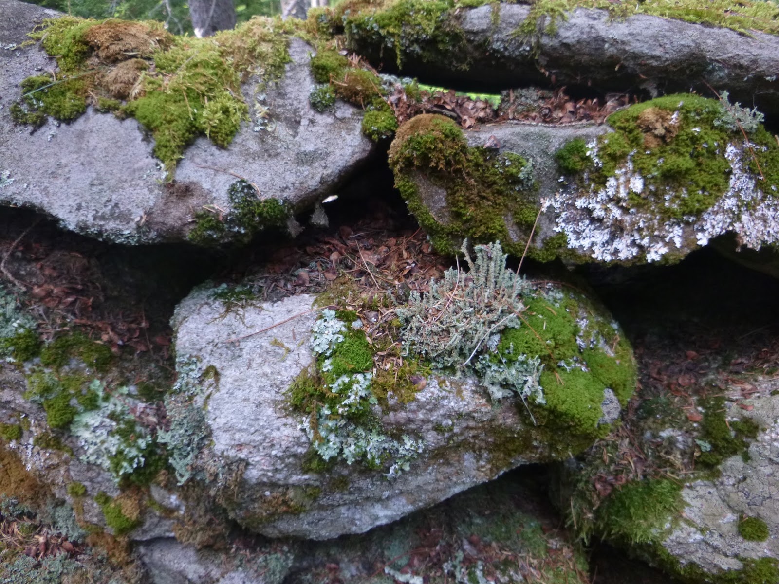
The hikes at Great Wass are moderately difficult.  The maps give you fair warning; in fact, they make the hikes sound rather impossible, which I guess weeds out the folks who would otherwise show up in flip flops, carrying a cooler.  This is a place where you definitely want your hiking shoes to properly laced; you will be clamoring over rocks and roots.  The trail was dry most of the time while we were there (but for a short thunderstorm on our way back).  But I can imagine a little bit of moisture -- from the persistent fog downeast) would make this trail a real challenge.  The trails pass over granite bedrock that is carpeted with a thin layer of soil, hosting mosses and lichens that are kept moist by the fog rolling in.

We hiked the entire loop on the preserve.  The Mud Hole Trail passed along a well-protected cove (the Mud Hole) with a few cruising boats anchored up inside (lucky boats).  This trail spits you out on pink granite ledges that slope down to Ascophyllum-draped rocks, a bay completely covered in lobster bouys, and offshore islands hosting either weekend cottages or sunbathing seals (bring your binoculars).  We broke out some water here and sat quietly, watching the spectacle that is Downeast Maine -- lobster crews hauling gear, eagles flying overhead, and a great silence, interrupted only be the slow and gentle surge of the Gulf of Maine.  Unfortunately, it wouldn't have been too easy to carry my boots across the island, so I skipped the tidepooling.  It was high tide anyways.

The walk south along the water was spectacular but challenging.  Much of the way we passed over massive slabs of granite, but this was interspersed with stretches of boulders to clamber over and cobbles to stumble through.  We were rewarded with yet more spectacular scenery, making the effort worthwhile.  (I must admit to disappointment that trails didn't let us get even further south on the island's west coast.  Since this island juts so far out into the Gulf of Maine, I'm going to bet it's a lobster nursery.  Alas, I must keep imagining, probably best for any baby lobsters that have washed shore here.) 

Our walk back to the parking lot on the Little Cape Point Trail was interrupted by a quick thunderstorm, with lightning striking very close by (within a mile).  The pace picked up after that! We were a bit damp, but no less enthusiastic, when we finally reached the car.  The entire trip took four hours, but at least half an hour of that was us simply sitting and soaking up Englishman Bay.  


A lobster pound at Beals.

Beals Island is just north of the preserve, and I couldn't resist stopping for a little snack.  (What else? A lobster roll.)  We both agreed our rolls were the best we'd had so far on the trip -- just what I expect from a hole-in-the-wall by the side of the road in a town like Beals.  Clearly, lobstering is in their blood here; everywhere you look there are pots stacked high in dooryards and buoys piled up by the side of the road.  The air was filled with the sounds of diesel engines as lobster crews came in with their catch.  We strolled down to the docks to see the lobster pounds, where the catch is stored while lobstermen wait for better prices.  Alas, this was too short a visit.  I have a feeling Beals and Jonesport will go on the list of places we hope to spend some time visiting next year.

Quoddy Head: This is as far "downeast" as you can go.  Ain't nothin' past it but Canada.  The lighthouse there, West Quoddy Head, must be one of the most photographed in the nation.  With its distinctive red stripes, it's a beauty.

But the hordes of tourists who drive straight to the lighthouse, snap a few quick pictures, then take off as quick as they came are missing the true gem of this state park.  Along the eastern shore of Quoddy Head lies some of the most spectacular scenery in the state.  The trails here wind along the edge of massive granite cliffs that rise above the Grand Manan channel like cathedral walls.  (Pardon me if I wax poetic; this place is worth a little poetry, even if it's not very good.)  

A few places are real standouts here.  Gulliver's Hole allows you to perch high on the cliffs and listen to rocks rolling around in the surf far below; resulting in a constant thunderstorm at your feet. Spending a few minutes here, sitting quietly, is worth your time.  Plenty of tidepooling is available along the way -- in the right weather.  Bring shoes that can get wet and be very cautious if you take the plunge.  And stopping at the cairns is a great way to enjoy a picnic.  

Shockingly, we ran into NO people past the cairns.  Not a soul.  I'll warn you that the trails are in bad shape at this state park (Governor LePage, you should be ashamed.)  You'll get muddy.  But it's worth it for this amazing hike.  Trust me, once you've snapped your photo of the lighthouse, lace up your boots and head south along the shoreline.  It's the real treasure in the park.


Alas, our tine downeast is coming to an end.  We're packing the truck and heading back to our real lives this morning.  I'll be back though!

Monday, August 4, 2014

Week Downeast, Day 1

8 AM:  We run downtown to grab a quick breakfast at the Bakery in Eastport.  Things are quiet on a Monday morning, but promise to pick up.  We eat at the waterfront amphitheater, where there will be an evening concert on Wednesday, and stroll along the waterfront before taking off for the day.


10 AM:  As fog rolls in from the Bay of Fundy, we head out onto the flats at Cutler.  Clammers drive right out onto the flats here and dig as the tides roll out then in.  We make our way out to a rock island, covered in Ascophyllum nodosum, and search for green crabs.  There are plenty under the rocks, but none on the flats. The dog has a fine time roaming around off leash, and we tell the clammers we're just tourists in Dunlops (our green rubber boots, a favorite amongst the fishing crowd).


12 PM:  We hike out the Coastal Trail at Cutler Public Lands Reserve, hoping to get a glimpse of Grand Manan Island from the States.  We know we're getting close to the ocean when the temperature drops a good ten degrees.  No surprise though -- the fog is thick in Grand Manan Channel, so there'll be no view of Grand Manan for us.  I head back to the trailhead while Damon goes for a run along the extensive trails. Whlie I wait for him, I pick ripe raspberries, and even save some for tomorrow's breakfast.


3 PM:  The dog tolerates yet another hike at West Quoddy Head, the easternmost point in the United States.  Competing foghorns come from every direction on the Coast Guard Trail.  Luckily it's an easy trail with a terrific overlook at the end.


5 PM:  We stop into Lubec for a snack on the deck of the Water Street Tavern and Inn, watching the tide rip along between Lubec and Campobello.  Seals pop up in the narrows and the ferry from Eastport pulls in with a full cargo of tourists.


7 PM:  Drinks on the deck as the sun goes down, followed by a dinner of grilled portobello mushrooms, corn on the cob, and a big salad.  The dog collapses after a long day, and Damon and I plan our big day tomorrow -- whale watching in Passamaquoddy Bay.