What's wrong with this photo:
A) I am carrying all the supplies while Damon strolls along on his merry way.
B) I went hiking instead of watching the Pats game, causing them to lose their first game so far.
C) It's mid-October and I'm comfortable wearing just a t-shirt. In Maine.
D) All of the above.
The answer? D of course. Sunday we packed some snacks and headed over to
Ovens Mouth in Boothbay. It was lovely, and warm, just like the rest of the fall has been. Too warm and lovely, it might seem. Weather, of course, shouldn't be confused with climate. Weather is the exact condition at a particular moment, whereas climate is more like the average weather, or weather trend. So having one nice day in October (in Maine) doesn't mean that climate is changing and things are getting warmer. (Of course, neither does a blizzard in March mean climate is not changing.) But the trends show that warmer days are more common; the Gulf of Maine is getting warmer; and atmospheric carbon has reached frightening levels. This suggests that maybe the weather last weekend wasn't an unusual warm day, but was part of a warming climate in Maine.
Climate change in the Gulf of Maine isn't an abstraction -- it's real, and it affects real people and organisms in the ecosystem. Last week I went to the RARGOM (Regional Association for Research in the Gulf of Maine) Annual Science Meeting, which asked the question "The 2012 Gulf of Maine heatwave: anomalous year or the new normal?"
Short answer? Maybe, especially in the long run.
Long answer?
Consider: The Gulf of Maine was ~3° C warmer than usual, the most intense heat wave in at least the past 30 years. High temps were around for a long time, and spread over a large geographic extent. This may have been the result of warm, humid air; the jet stream pattern; or larger systems like the North Atlantic Oscillation and ocean circulation.
Consider: The phytoplankton bloom was very early. The bloom may have occurred too early for the energy stored in plankton to be shifted up the food chain.
Consider: Many southern fish were found in the Gulf of Maine.
Butterfish and
blue runner, normally a rarity in the Gulf of Maine, were common. Apparently the trend continues into 2013 (
mahi mahi in Rhode Island? Surely not.)
Consider: Lobsters. In 2012, lobsters responded to warm temperatures by migrating shoreward and molting ~3 weeks early. That might seem like a good thing for lobstermen, as these processes are linked with higher catches. In June and July, catches rose by 15 million pounds -- but the price fishermen got dropped 40%, to just $2.63 a pound. It was the great lobster stampede, as too much product came ashore; swamping processing plants in Maine and in Canada (where Canadian fishermen tried to blockade plants).
Consider: Puffins bring their chicks any small fish in the water column, which in 2013 wasn't the white hake and herring they usually rely on, but were things like butterfish and other southern species.
Butterfish are to fat to fit down a chick's beak, and they died in large numbers, surrounded by piles of small fish they just couldn't eat. Apparently this year
moon fish are being brought in by seabirds, another mismatch between forage fish and beak size.
Consider: Razorbills, a relative of the puffin, were found in large numbers in Florida and the Gulf of Mexico following the 2012 summer. They were probably displaced by lingering warm waters (and a resulting lack of bait fish) in their normal winter grounds. Many of these birds seemed to die on their way back to Maine for the breeding season, perhaps from storms they could not weather given poor body condition. In Cape Cod alone, 264 were found dead (many emaciated) on the beaches, and since they are an offshore bird, any showing up on a beach represent many more dying offshore.
All this leaves the ocean lover with a lot to think about. Even if 2012 was simply a hot year and an anomaly there is good evidence that the Gulf of Maine is warming at ~0.01° a year, or even more recently. By 2050,
Calanus finmarchicus, the base of the pelagic food chain, is expected to be excluded from the area. (In fact, there are
reports of very low
Calanus densities this year, along with very low numbers of right whales, which feed on
Calanus exclusively.) What the future holds is a mystery that at times keeps me awake at night. Maine is the last outpost of cold northern waters, and we are likely to see great change come our way -- soon.
I know what some of you are saying: Bring back the lobster roll posts! Show me a nice coastal hike! How about a picture of a whale? Unfortunately, loving the ocean means dealing with the impacts of humans. Climate change can make all the other problems the oceans face moot, so it's something we all need to talk about and connect ourselves to. We live now, when the impacts of climate change are hitting us over the head, and ignoring them does us no good. So if you don't like to think about climate change; drive less, be efficient in your use of electricity, eat less meat, and buy less crap. That way you can know you're reducing your own contribution to the problem.
Now about that hike:
 |
| BBRT makes a great point here. Land trusts are worth joining. |
 |
| It's hard to see here, but the tidal currents were causing standing waves out there. |
 |
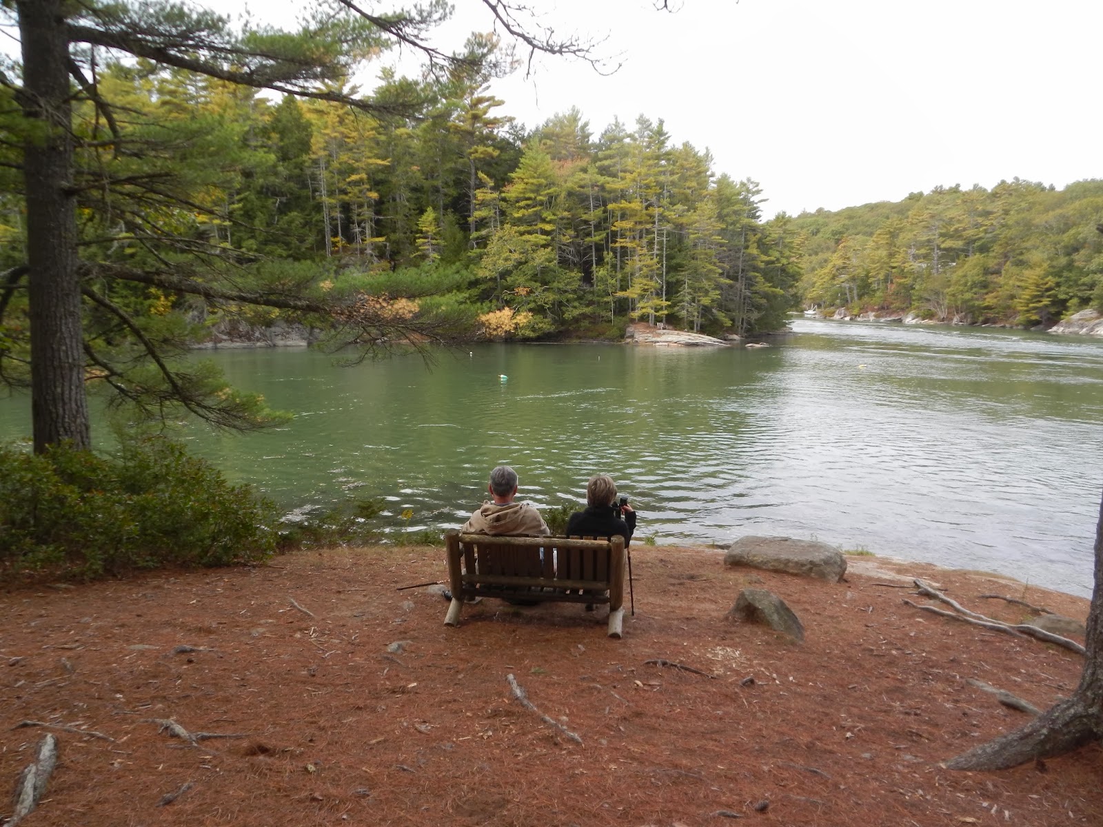
| A quiet place for contemplation |
Ovens Mouth is another terrific
Boothbay Region Land Trust property. It's
dog friendly with some spectacular views of the tidal Ovens Mouth River. The hike takes you on two peninsulas, connected by a beautifully crafted bridge (the perfect place for a picnic). Cedar forests, salt marshes, and upland forest all string along the trail. Pair your hike with a trip in to Boothbay for a bite to eat and you've got a great day trip. We like to go on to Newcastle or Damariscotta for lunch when we go -- the Newcastle Publick House and the King Eider Pub both are favorites.
 |
| The bridge |
 |
| Thinking deep thoughts? |
To Get There: Drive south on Rt 27 (from US1). Just past the campground and train museum you'll turn right onto Adams Pond Road (turn at the Cottage Connection). Go 0.1 miles and turn right onto Dover Road. Go ~2.5 miles (a beautiful drive) and you'll see a sign for the preserve; I like to park at the eastern lot.